Tours
Walk the historic neighborhoods of Indianapolis
The neighborhoods of Indianapolis provide a unique glimpse into the first 200 years of our Capital city's history. Indiana Landmarks recognized this years ago and developed guided walking tours in partnership with local historians and neighborhood residents. I'm happy to see that HUNI has taken this carefully crafted work to engage a much broader audience through this website and the accompanying Pocket Sights tours.
Our thanks to Project Organizer Lorraine Vavul, Digitization Editor Kara Chinn, Webmaster Jay van Santen, HUNI Tours Coordinator Garry Chilluffo, HUNI President Glenn Blackwood, HUNI volunteers, and fundraising groups -- Indiana Humanities, National Endowment for the Humanities, Central Indiana Community Foundation, and Indiana Landmarks, and the PocketSights platform -- which made this possible. We are honored that this initiative has been endorsed by the Indianapolis Bicentennial Commission as an official Bicentennial Community Project.
~Marsh Davis, President, Indiana Landmarks
Download PocketSights Tour Guide
Our tours have been developed using the PocketSights Tour Guide app, which will guide you from one point of interest to the next. The tour stops may be browsed via the web, but the PocketSights app will offer the best experience.


Indianapolis Tours
-
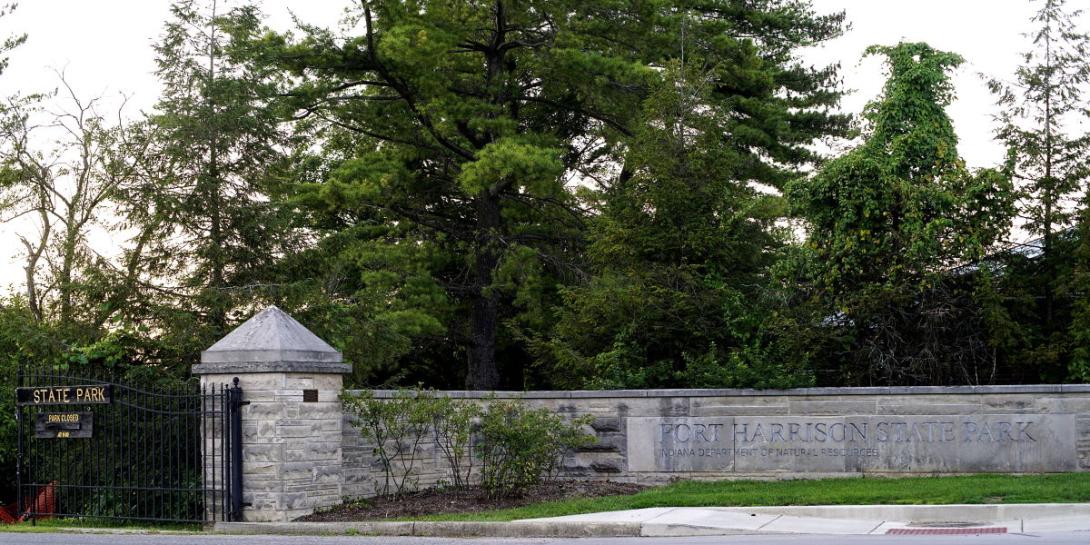
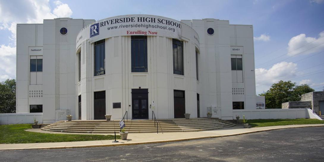
Fort Benjamin Harrison Biking
In Lawrence Township, when the Base Realignment and Closure Commission closed the Fort in 1991, about 1,700 acres were conveyed to the State of Indiana for the Fort Harrison State Park and Golf Course. A significant portion of that land was given to the City of Lawrence for parks and recreational uses. Once the maneuvers area and firing range for the fort; now, this 1,700-acre park features walking and jogging trails, road and mountain biking trails, picnic sites, and fishing access to Fall Creek.
There are period themed combat displays, a warfare library, and other items related to Indiana’s involvement in our nation’s military history. This is the Museum of 20th Century Warfare, operated by volunteers and open to the public and free with admission to the park.
The biking tour has its base in the sites of the walking tour, but encompasses a much broader geography of the former base.
-
Fort Benjamin Harrison Walking
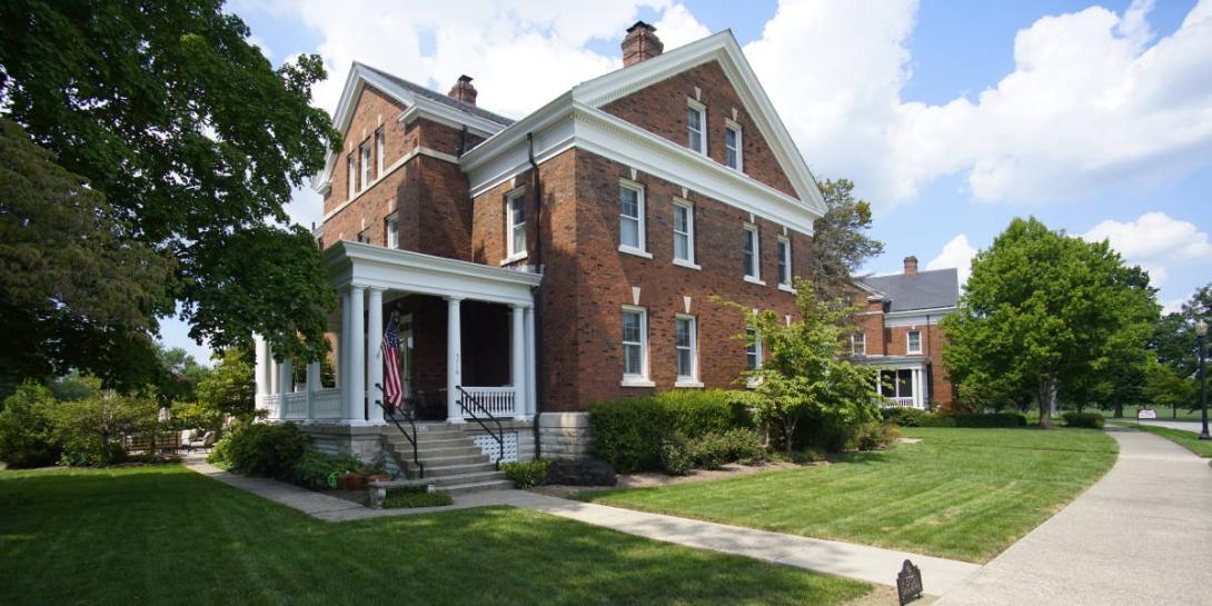
To the northeast of the city, in Lawrence township, the area of Fort Ben has seen many changes. Before the first settlers arrived to farm, Delaware and Miami Indians lived along Fall Creek. In the wake of the Spanish American War, in 1904, Fort Harrison was included Fort Harrison among facilities designed to maintain an expanded national army, named in honor of the Indianapolis native and President who had passed in 1901. Centrally located nationally, it served as a training ground for troops and support specialists during World War I.
The U.S. Army Finance Center became the most recognizable landmark at Fort Benjamin Harrison. Completed in October, 1953, the huge complex – second in size of military buildings only to the Pentagon – centralized all of the Army's related pay and disbursing activities. The walking tour takes in housing and major facilities. Colonial revival architecture – nearly the exclusive style of the official residences -- presents an appropriate clean and organized environment.
-
Garfield Park
This park and neighborhood is located due south southeast of downtown south of Raymond, nestled between Meridian Avenue and 1-65 on the West and East respectively. The city purchased a failed horseracing track as its first municipal park, Southern Park, soon renamed to honor President James Garfield.
Nationally-known landscape architect George Kessler was hired to design the park. He was deeply concerned with the environment and the health and happiness of people in urban settings. The system of drives and walks he designed revealed “the real beauty spots of the city” giving access to striking views and open space.
Between 1915 and 1918 the city annexed much of the former Yoke farmstead while surrounding land remained small truck farming until the 1950s. Housing ranges to 20th-century bungalows & duplexes, The continuing presence of storefront businesses lends a small-town atmosphere.
-
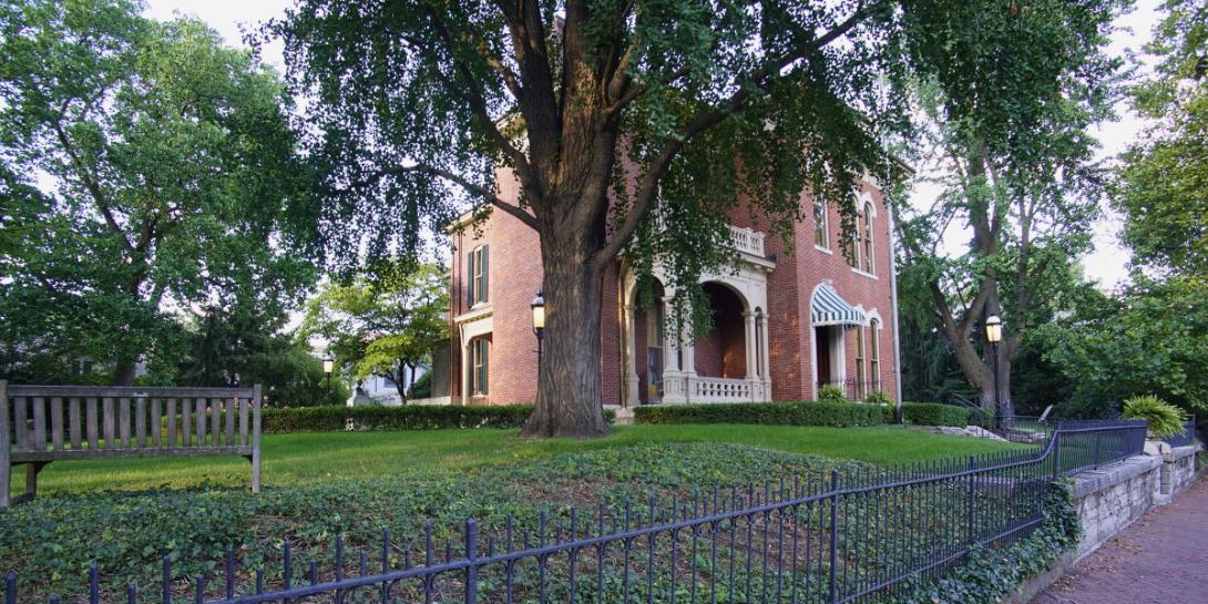
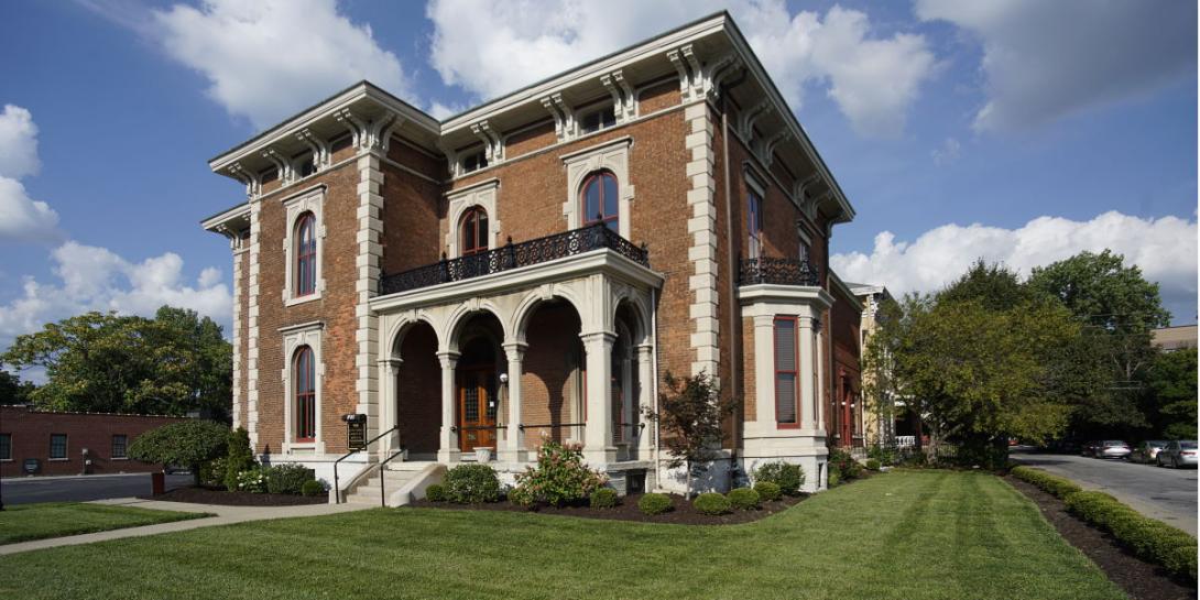
Herron-Morton Place
North of the original Mile City boundaries at 16th Street, the area remained undeveloped woods until 1859 when purchased for the State Fairgrounds. In the Civil War Governor Oliver Morton used the site for training, then as a prison camp. When the Fairgrounds moved in 1890. entrepreneurs bought the land, renamed it Morton Place, and sold upscale residential lots.
Between 1900 and 1930, Henon-Morton Place was home to some of the city’s leading citizens: Governor Samuel Ralston lived here, as well as retailers Frederic Ayres and William H. Block, and Dr. William N. Wishard. The Herron School of Art – a bequest of real estate developer John Herron – a fine Italian Renaissance Revival building, designed by Vonnegut & Bohn was built in the area in 1907.
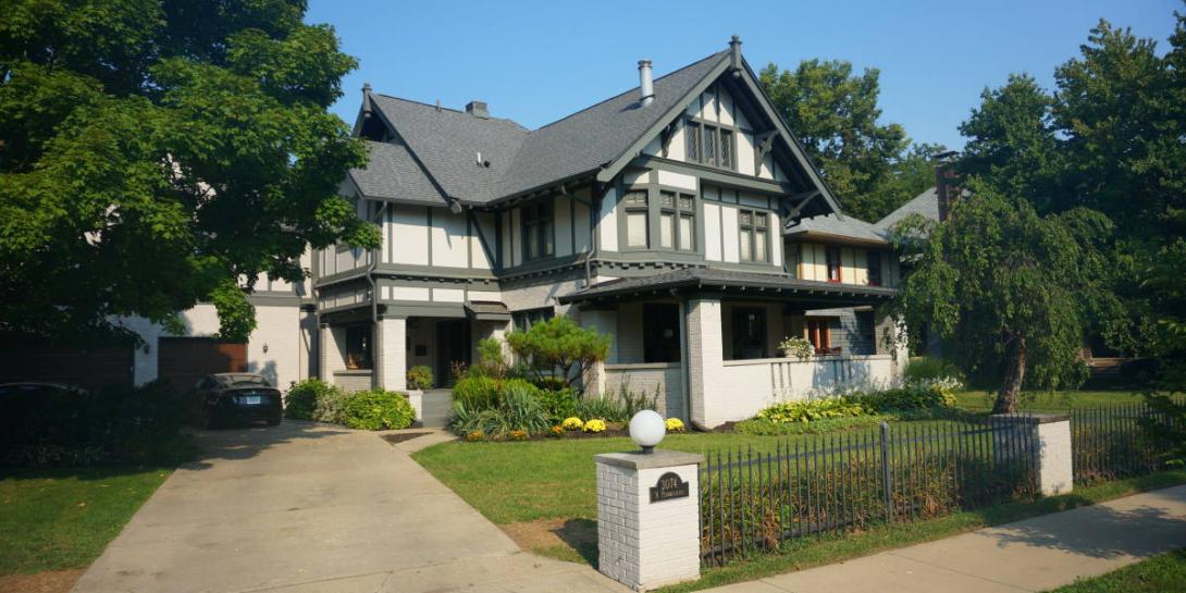
Some examples of earlier Italianate homes built in the 1870s mix with the more predominant grand Queen Anne homes and slightly later, simpler, Princess Annes, along with a variety of American Tudor, Gothic Revival and American Foursquare.
-
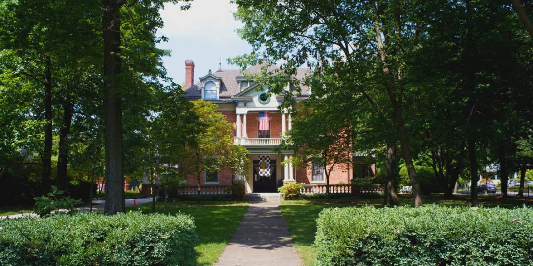
Historic Meridian Park
In Indianapolis’ Near North Gateway, across Meridian Street from The Children’s Museum, the neighborhood was farmland until platted in the late 19th century. Neighborhood development awaited a better accessover Fall Creek in the early 20th century. The Arts and Crafts movement encompassed broad concerns from architecture to the homeowner’s daily lifestyle. Therefore, unlike the large Victorian homes of the Old Northside, Arts and Crafts style homes are more functional than formal.
Meridian Park is known for more than just its substantial, architect-designed Arts & Crafts houses. Fashionable examples of Tudor Revival, American Four-Square, Colonial Revival and other exotic influences are well represented here, giving Meridian Park a rich variety rarely seen in other neighborhoods. Meridian Park provided homes for the city’s prominent citizens Architect Arthur Boehn, partner of Vonnegut, built his home and lived here, and the Anton Vonnegut family. The neighborhood has been recognized on the National Register of Historic Places since 1990.
-
Holy Cross Neighborhood
Immediately east of downtown, this area was one of the first in the city to be settled. Even before statehood, George Pogue built a cabin on a creek – now bearing his name – about 1819 – at Michigan Street. Governor Noah Noble built a home on Market Street after 1832 on a land grant, farming much of the rest bequeathed to the Davidsons who named this Highland Home.
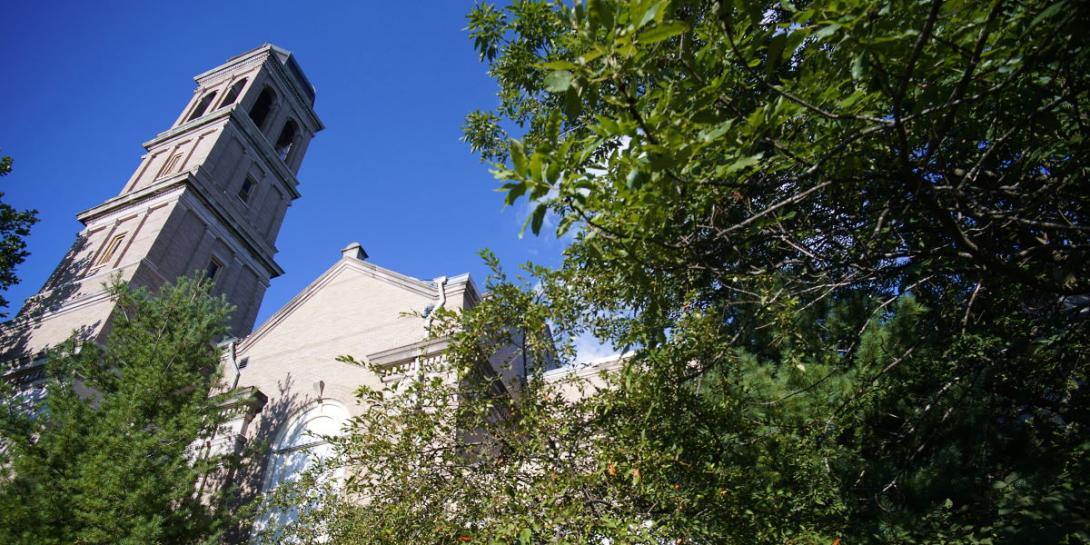
By the 1880s, many of the city’s Irish immigrants had settled long the area's westem edges near Irish Hill. To meet the religious needs of this community, the Diocese built Holy Cross Roman Catholic Church in 1886. The initial congregation of 300 tripled in a year. The housing stock consists largely of two-story, early 20th century frame structures which gave home to a largely working class population.
After the WWII exodus out of the area, the community has seen a renaissance through the work of community organizations such as NESCO, the NFL, commercial groups such as Angie’s List. Today, a broad range of young couples live alongside long term residents.
-
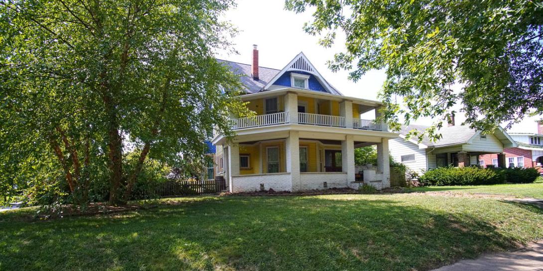
Irvington Biking
The bike tour takes in a broader range of scenes in the large Irvington neighborhood. Around the turn of the century, the foundation laid 25 years earlier began to flower. A commercial center emerged in the late 19th century around the Perm Central Railroad depot on South Audubon Road.
In 1900, the Indianapolis & Greenfield Rapid Transit Company laid tracks down the center of Washington Street giving Irvington efficient light rail service. Businesses began moving to Washington Street near Emerson Avenue, as well as a public library, theater, Masonic lodge, and fire station. Irvington was annexed by Indianapolis in 1902. Developers filled empty lots with new houses during the first decades of the twentieth century and essentially completed the built environment. So, from the Victorian-era core, later building represents styles more typical of the Arts and Crafts and related styles.
The neighborhood continues to have an active community life and carries on its heritage as a center of arts and education.
-
Irvington Walking
Irvington was founded as the first planned suburb of Indianapolis, 5 miles due East of the Downtown Circle. Developers in 1870 purchased/contributed a total of nearly 400 acres of farmed land alongside the National Road for a community of "refinement and culture" named for author Washington Irving. They platted the town with 109 randomly sized lots situated along meandering curved streets, in the spirit of the Cincinnati suburb Glendale with its romantic Victorian plan. In the year of its incorporation, 1873, a grant from the town brought North Western Christian University, renamed Butler University in honor of its founder. Admitting students regardless of race or gender reflected the Quaker abolisionist background of the founders of school and community. Faculty members, the Irvington Group all contributed to the cultural life of the city.
Irvington Historic District was placed on the National Register of Historic Places in 1987. Architecture in the district displays distinctive examples of late 19th and early 20th century styles.
-
Lockerbie Square
Lockerbie Square is a quiet residential area that abuts the eastern edge of the “Mile Square,” Indianapolis’ downtown business core. With beginnings in the 1860’s, it is rich in history and charm, with tree-lined streets, a mixture of charming homes from small cottages to Victorian mansions.
After laying out the city’s center, in 1821, excess land was sold to developers for residential neighborhoods. Lockerbie Square became the first of such neighborhoods. After the Civil War, craftsman desiring proximity to work purchased smaller lots and built cottages, near wealthier families’ grander residences, one the home of James Whitcomb Riley. Religious organizations, such as the original St. Vincent Hospital, established themselves.
The late 1800s and early 1900s saw a peak of neighborhood vitality, prior to industrialization and migration from the urban center. Revitalization of the neighborhood led to the formation of local historic preservation groupls in the 1960s. Lockerbie was a placed on the National Register of Historic Places in 1973.
-
Old Northside
Today’s “Old Northside” began as two communities North of the downtown: the original campus of North Western Christian University for which Ovid Butler provided farmland near 13th and College beginning in 1855. A small town known as College Corner served the university until its move to Irvington in 1875. The second neighborhood was an outgrowth of the affluent residential development north of the city's center.
The wealthy built their mansions in the wooded and rural setting. After the Civil War, the Northside saw substantial development. From that time to the early 20th century, the area was the most fashionable place to live.
Historic designation in 1978 began a period of revitalization, in which most of the historic buildings have been renovated and historically sympathetic in-fill housing has been built, making The Old Northside one of the premier historic districts in the midwest.
-
Old Speedway City
The Town of Speedway, 7 miles Northwest of Monument Circle west on 10th Street, was inspired by a bumpy, maintenance-filled, autombile trip, in autumn 1908, that Carl Fisher and realtor friend Lem Trotter took from Indianapolis to Dayton. Fisher insisted that his proposed track would help improve the then-low-quality tires and automobiles. in 1909, that vision was realized with the building of the Speedway. In 1912, Trotter purchased 350 nearby acres, and platted the town of Speedway. His clients, including James Allison, envisioned an attractive "horseless city" of automotive industries and workers' homes adjacent to the racetrack. Trotter designed an expansive Main Street with a commercial district on the west side and industrial facilities on the east side. Managers resided in larger houses on 15th & 14th Streets, and workers in smaller houses on 11th - 13th Streets, closer to the factory on 10th St.
From 1950 to 1970, the population nearly tripled, housed in apartments and single-family limestone and brick ranches. The Speedway Redevelopment Commission, 2005, continues the development.
-
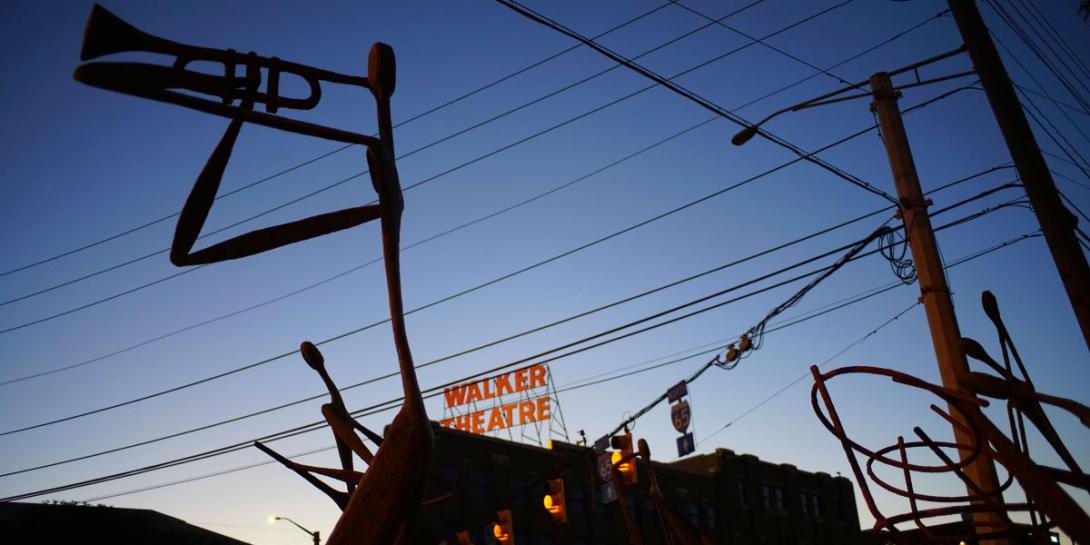
Ransom Place
Following Indiana Avenue northwest about a mile away from Monument Circle, Ransom Place is nestled between the Madame Walker Theatre and Crispus Attucks – and the city’s historically black high school. The community is one of the oldest surviving districts associated with African Americans in the State of Indiana.
The neighborhood is recognized locally and nationally for its vernacular Queen Anne, Four Square and Shotgun homes built on small narrow lots between 1875 and the early 1900s. The neighborhood’s namesake, Freeman Bailey Ransom served as General Manager of Madame C.J. Walker’s cosmetics business—a model for black-owned businesses nationally. By 1925 the neighborhood was a prestigious community of prominent and well-established black residents, including physicians, a city councilman, and several attorneys. Historic Ransom Place was the first black neighborhood in the State of Indiana placed on the National Register of Historic Places in 1992.
-
Riverside
Riverside is a west-side community straddling the White River between 18th and 38th Streets. Early in the 1900’s, real estate developers and local landowners saw the opportunity to create a community that would be accessible by the newly expanded downtown transportation system. The “streetcar suburb” would feature landscaped traffic circles, generous front yard set-backs, wide boulevards, and glacier boulder retaining walls. A George Kessler designed park, Indianapolis’ first zoo, and the now-demolished Riverside amusement park, followed the success of the planned community.
Today, Riverside enjoys a wide array of amenities and boasts a diverse and active neighborhood community, including an amphitheater, family center, golf courses, gardens, etc. Additionally, there is connecting linkage to nature trails: White River, canal towpath, and Fall Creek. Future projects include The Riverside Heritage Promenade and The Nature and Adventure Park for Indianapolis.
-
St. Joseph
The St. Joseph Area is a significant multi-use district, immediately north of the original Mile Square perimeter whose architectural resources reflect the city's development during the late nineteenth century and early twentieth century. Its composite of structures (residential, commercial, and industrial) constitute a significant and distinguishable entity that yields a clear impression of the city's development during a time of great change and substantial growth. St. Joseph residential architecture spans virtually the entire history of Indianapolis since the 1860's with good examples of Italianate, Queen Anne, Romanesque Revival, Tudor Revival, Nineteenth Century Commercial, Renaissance Revival, and Carpenter-builder.
Current interest in downtown living has encouraged renewed infill, with a contemporary twist on traditional design themes and a hospitable environment for modern row house design. St. Joseph received local historic designation in 1991.
-
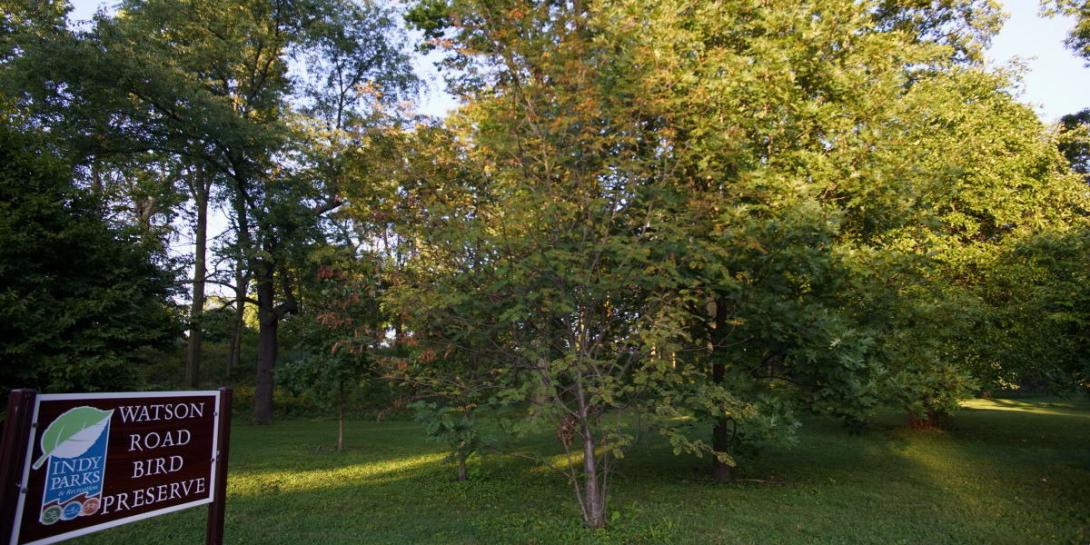
Watson Park
On the near northside, across 38th street from the State Fairgrounds, this tour offers a glimpse of settler-era Indianapolis with the 4 acre Watson Park Bird Preserve anchoring the northeast end of the neighborhood. This hilly area maintains native Indiana flora and fauna.
Among the first settlers – Oliver Johnson’s (b. 1822) grandfather having farmed here. With growth of the city, the land was platted for suburban style development in 1872. But, only more robust bridges, better roads in the late 1900s through early 1900s, and the Fairgrounds relocation in 1892, stimulated the neighborhood’s building – largely between 1915 and 1930.
The topography, with diverse features from flat to hilly, offers a variety of landscaping and homes of the period – Colonial, Tudor Revival, and Art Moderne among others. Watson Park received historic designation in 2012.
-
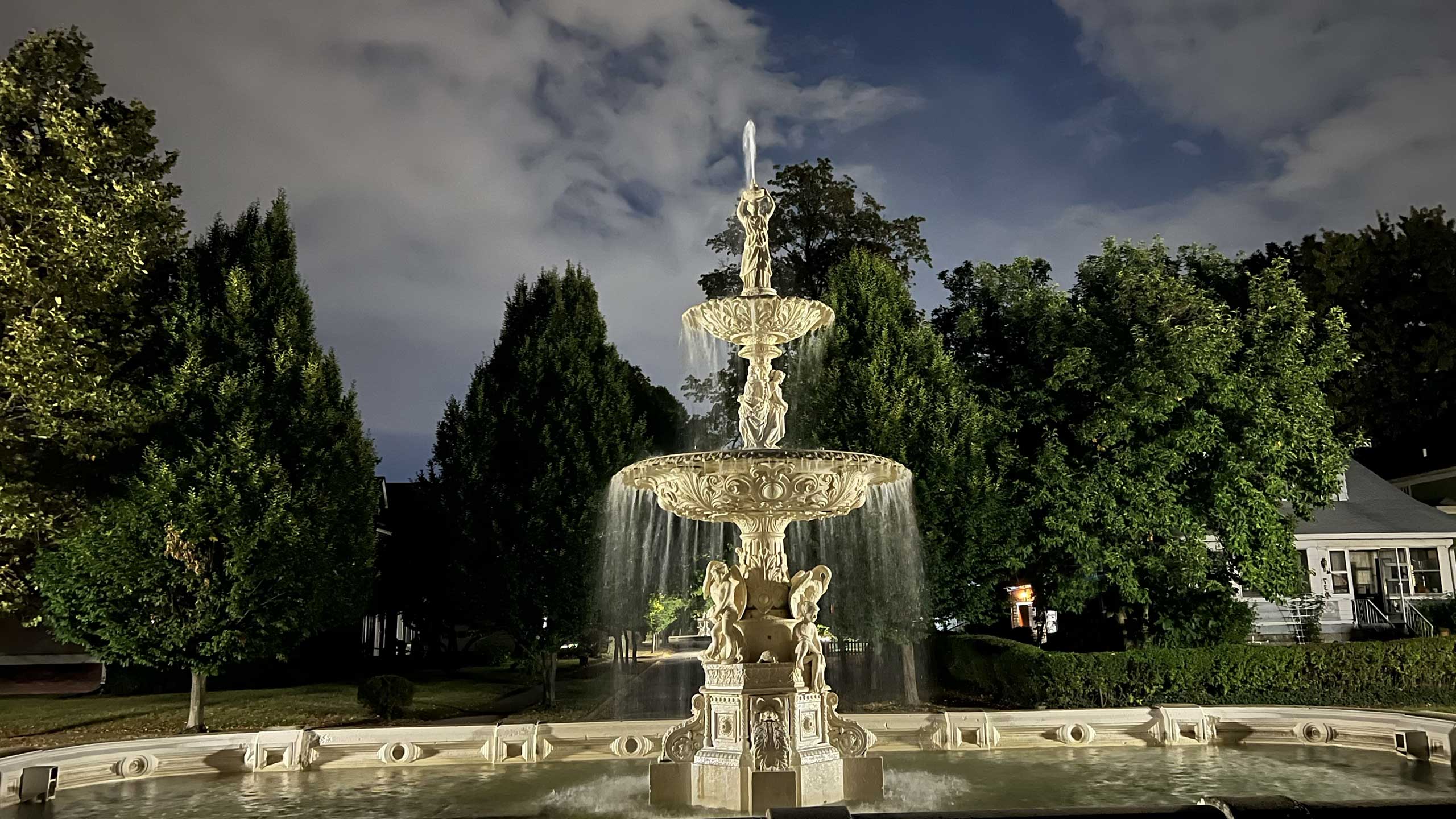
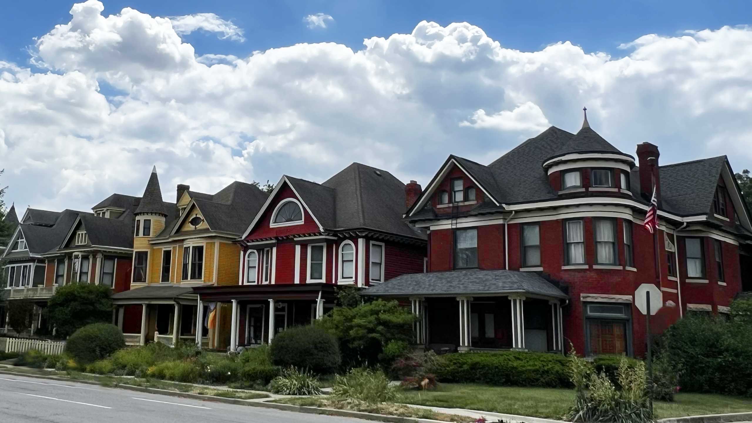
Woodruff Place
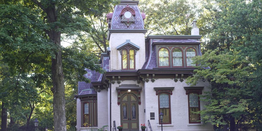
This original suburb of Indianapolis, located just a mile East of the downtown, south of 10th Street, features a gracious, park-like setting with examples of grand homes, esplanades with fountains and statuary. An eclectic mix of architectural styles — in the transitional time between the peak of its growth from 1898 to 1910 — constitute the housing stock—Victorian, Queen Anne, Eastlake, Edwardian, and Arts and Crafts, among others. The town was incorporated in 1876 and remained independent until annexed by the City of Indianapolis in 1963.
After migration away from the urban center of the city following World War II, a new generation reclaimed the community and its grand homes in the 1960s. It was added to the National Register in 1972, and received local designation in 2001.
Thanks to our Sponsors

Indiana Humanities
Indiana Humanities is a statewide nonprofit dedicated to promoting the public humanities. We’re a grant-maker, a neutral convener, a facilitator, a program partner, and much more.
In short, Indiana Humanities encourages Hoosiers to think, read and talk. How? By creating its own programs, such as Quantum Leap, Next Indiana Campfires, INconversation, Novel Conversations, Chew on This and more; by providing grants for humanities programs throughout the state; and by providing a space—physically and digitally—for people to connect and converse.

Indiana Landmarks
Indiana Landmarks saves the places that matter to Hoosiers—houses, barns, bridges, churches, schools, downtown districts, vintage neighborhoods. By restoring and repurposing historic buildings, we reconnect people to heritage and revitalize communities.
We save buildings because they stir us. They’re inspiring examples of Hoosier art and spirit, ingenuity and craft. They heighten our sense of place and connect us through the generations. They help us remember what’s important in our lives.